27.12.2015
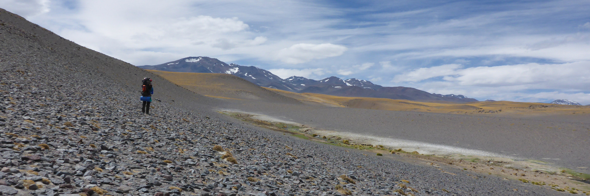
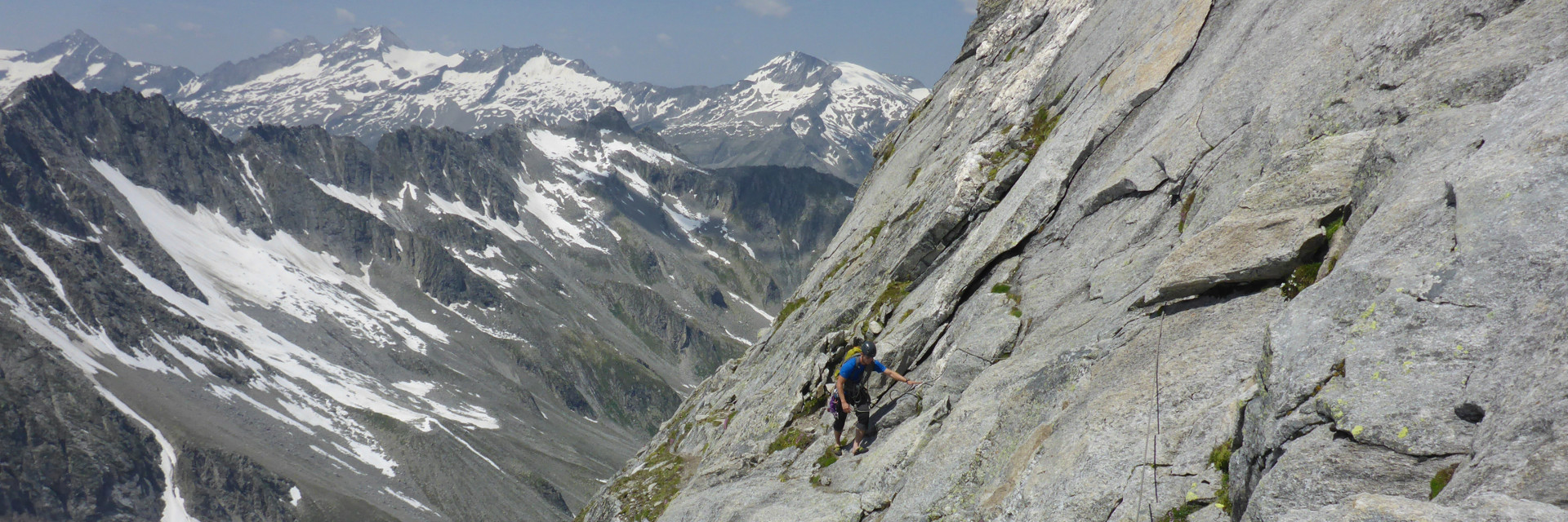
After climbing the Kilimandjaro we started planning our next tour. We choose the Andes and the region Puna de Atamaca, because it is remote and not so popular. The climate is dry but the weather can be tricky. In the region one can climb a lot of 5 or 6 thousand meter high peaks. We could only find old maps and a few descriptions of the road ahead. There are no hüttes or marked trails. We will carry our own food for the whole tour. We might not even see a living soul. What more could we ask for? 🙂 We will try to stay in contact and send some infos if it is possible.
Puna de Atacama
loading map - please wait...